
Страна:
Регион:
Другие названия:
Значение:
Время визита:
Цена:
бесплатно
Почему Топ:
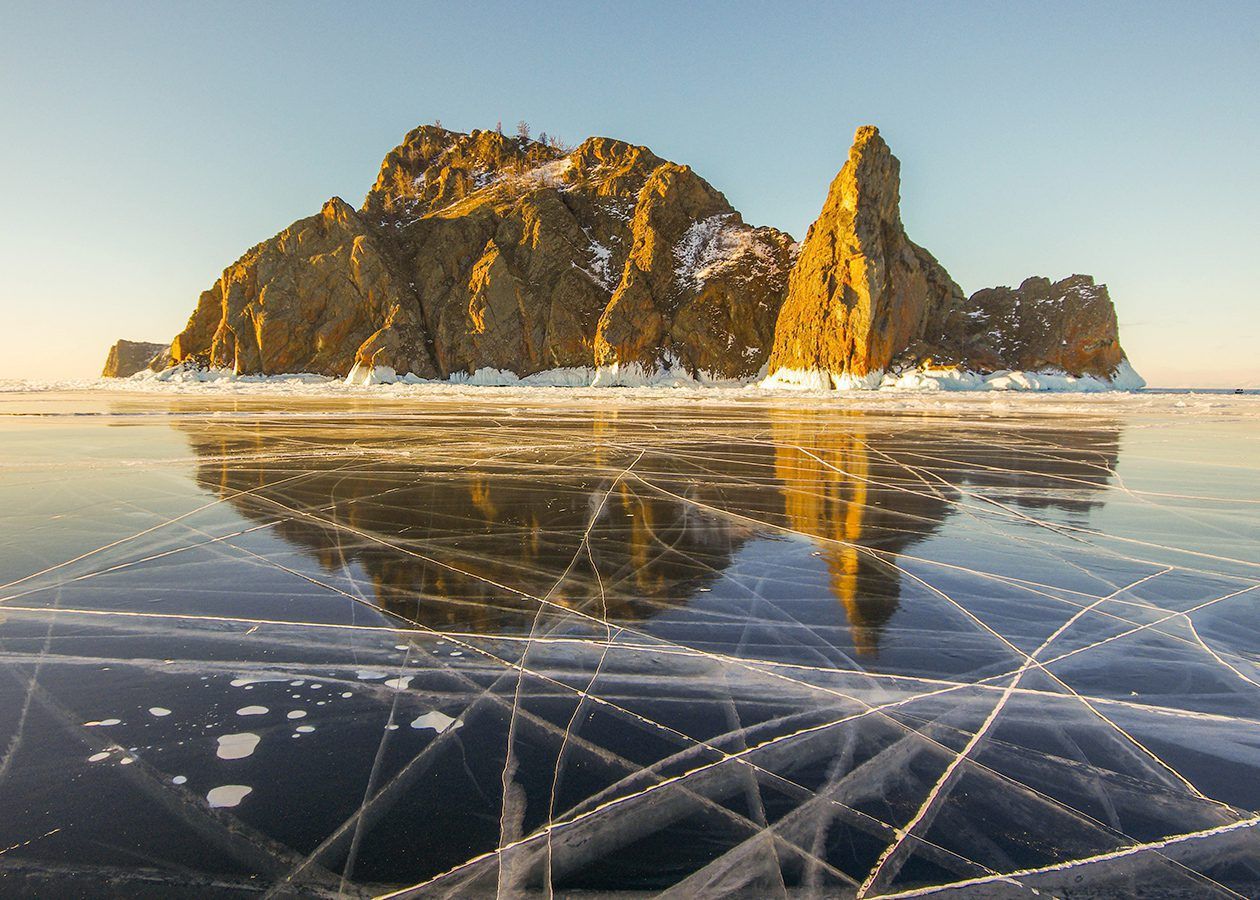
Скальный мыс на Байкале, культовое место бурятских легенд.
Описание:
The northernmost edge of Olkhon. Translated from Buryat as “Fang”. The cape is located approximately halfway between the southern and northern ends of Lake Baikal. From here you can see a beautiful and unforgettable view of the vast expanses of water of the lake. In clear weather (best in winter) you can clearly see from here: on the left, Cape Ryty, formed by sediments from the mouth of the Rita River; on the right rises the largest Baikal peninsula — the Holy Nose. A picturesque cape on the edge of Olkhon Island. In winter, you can drive up from below on the ice. In summer, either from below on a boat or from above on an SUV.
Категории:
Метки:
Зачем посещать:
Интерес:
Физподготовка:
Лучшее время:
Увидеть:
Доступ:
Roads:
Open:
Attendance:
Info:
Safety:
Departure on the ice by car is officially prohibited. However, local cars drive on ice.
Clothing:
Warm
Climate:
Windy
Connection:
Cellular connection is poor. Tele2 operator is best.
[my_articles_1 post_type=“articles_dir_ltg”]