
Страна:
Регион:
Значение:
Время визита:
Цена:
бесплатно
Почему Топ:
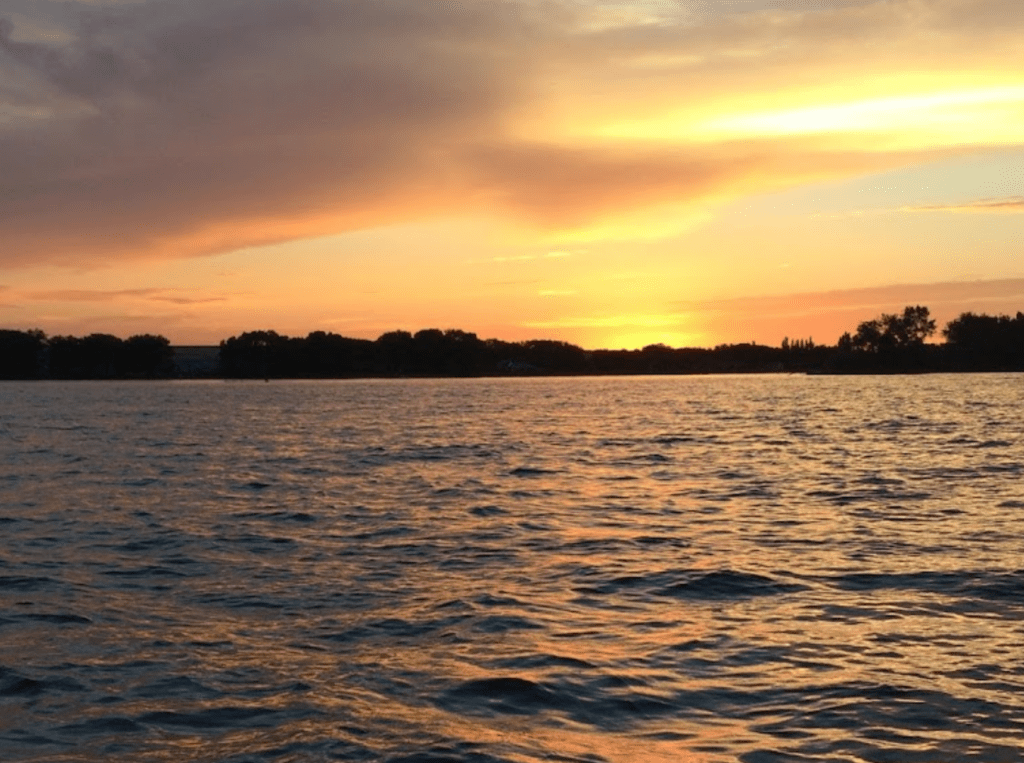
A Wisconsin lake popular for fishing and recreation.
Описание:
Lake Sharpe, located on South Dakota Highways 50 and 47 near Chamberlain, and Reliance, is one of the four reservoirs constructed along the Missouri River in South Dakota. (The other three are Lewis and Clark Lake, Lake Oahe, and Lake Francis Case). Lake Sharpe was named after a former South Dakota Governor, Merrill Q. Sharpe, who was influential in the construction of the dams and reservoirs along the Missouri River. Stretching 80 miles long and with 200 miles of shoreline, Lake Sharpe is a great place for, fishing, hiking, biking, swimming, camping, hunting, boating, or wildlife observing.
Lake Sharpe was created by impounding the Missouri River near Fort Thompson. Seven miles upstream from the dam, is a unique bend in the Missouri River. At this bend, the Missouri makes almost a complete loop, before returning to the “neck” where the land is not quite a mile wide, hence the name Big Bend Dam. Construction began in 1959, as project of the U.S. Army Corps of Engineer under the Pick-Sloan Plan. The Dam was completed in 1964 and measures approximately 10,570 feet long and 95 feet high, it now provides flood control, conservation of fish and wildlife, irrigation, hydropower, and recreation.
Fishing and Hunting are two popular activities along Lake Sharpe. All public lands around the Lake Sharpe are open to hunting, except for developed recreation areas. Hunting opportunities include, water fowl, upland game birds and big game. Whitetail and mule deer, as well as elk, bison, coyotes and wild turkeys, are the big game animals you can expect to find. The waterfowl and upland game birds include ducks, grouse, prairie chickens, geese, and pheasants. Hunting regulations are established and enforced by the State of South Dakota, and the Lower Brule and Crow Creek Tribes. Walleye, large and small mouth bass, northern pike, catfish, and white bass are the fish of choice in Lake Sharpe. If fishing on reservation land a Tribal license is required.
There are 19 recreation areas along Lake Sharpe operated by the Corps of Engineers, the State of South Dakota, and Lower Brule Sioux Tribe. Highly developed recreation areas like Left Tailrace and West Bend, include campsites with electrical hookups, shower houses, picnic shelters, boat ramps, fish cleaning stations, and amphitheaters. Primitive recreation areas are also available, such as the North and South Iron Station. Lake Sharpe is a great family retreat. Whether you are looking for a relaxing time on the sandy beaches, or to be exhilarated by the hunt of big game there is always something to do at Lake Sharpe.
Area: 228,45 sq. km., volume: 2343,6001 cubic meters, depth avg: 10,3 m, shore length: 340,70999 m, res time: 27,5, elevation: 429
Категории:
Тэги:
Зачем посещать:
Интерес:
Физподготовка:
Лучшее время:
Доступ:
Дороги:
Открыто:
Контакты:
Одежда:
Seasonally
Связь:
No connection