Home Twitter Telegram
First time here ?     Subscribe
  • Places
    • List
    • List (map left)
    • by Country
    • Table
    • Map
    • Simple view
    • Cameras
  • Services
    • List
    • Map
  • Tours
    • List
    • Map
    • Table
  • Site
    • About
    • Contacts
    • FAQ
    • For Place owners
    • Prices
    • Subscribe
  • Account
    • Login
    • Join (register)
    • Payment
    • Prices
    • Requests
  • Add
    • Add Place
    • Add Tour
    • Add Infrastructure
    • Add Content
    • Add Blog
    • Add Comment
    • Add Event
    • Add Rating
    • Add Request
  • Site Map
  • Partners
  • Support

Places Tours Services News Blogs Articles Events Authors Cameras Add Join

  • PLACES
    • List
    • Map
    • Table
    • List (near me)
    • Map (near me)
  • TOURS
    • List
    • Map
    • Table
  • SERVICES
  • Web Cameras
  • More
    • Blogs
    • News
    • Articles
    • Events
    • Authors
    • Telegram Channel
    • Telegram Chat
  • Site
    • Join compare
    • Plans & Prices
    • Contacts
    • FAQ
  • Add
    • Add Place
    • Add Content
    • Add Event or Date
  • Login
Add Tour
Add Sleep Place
Add Eat Place

Requests are available only for Business users !
Join as Business


Country:

USA
California

Value:

National value

Duration:

20 min

GPS:

35.26749, -119.82714
Go
Map
1.00
Wallace Creek Trail
Wallace Creek Trail
Trail
Trail

Country:

USA

Region:

California

Value:

National value

Visit duration:

20 min

Description:

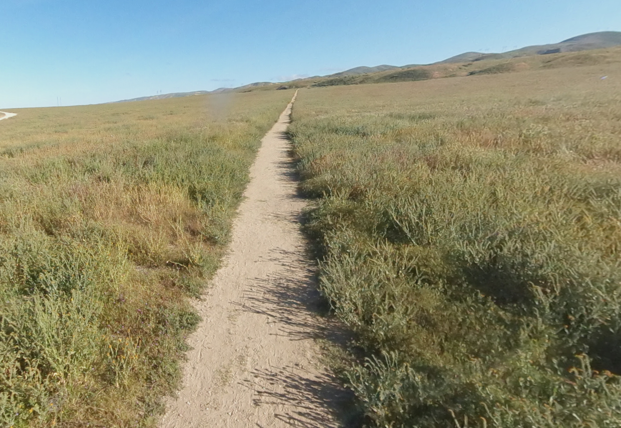
Wallace Creek (dry most of the year) crosses the San Andreas fault and provides evidence of the of the motion of earth over the past 3800 years. An interpretive trail shows how the once-straight creek was twisted by large earthquakes every few hundred years, resulting in the right-angle bends in the creek today, geologists call this feature an offset channel. The interpretive trail is a total round trip of 1.4 miles.


Categories:

Trail
Trail

Tags:

National Park

Interesting:


Fitness level:


Best visit time:

January
February
March
April
May
June
July
August
September
October
November
December

Access:

Bike
Car
Car 4x4
Foot

Roads:

Asphalt

Info:


Clothing:

for the season


Connection:

Ok


Map and directions
By car By public transit Walking Bicycling

Add comment Cancel reply

Your email address will not be published. Required fields are marked

Author:
db9@toptourplace.com
Created:
23.08.2023
Updated:
18.08.2024
ID:
97641